Distance: 2.3 km (1.4 mi) – St. Julien Road to summit of Tunnel Mtn.
Day Hike: 30 minutes – 1 hr one way
Elevation Gain: 240 m (790 ft)
Maximum Elevation: 1690 m (5545 ft)
Topo Map: Banff 82-0/4
Trailhead: Banff Centre overflow parking area in Banff townsite, on the east side of St. Julien Road, 350 m south of its intersection with the east end of Wolf Street. An alternative trailhead is at km 0.3 of this trail, where it crosses Tunnel Mountain Drive 500 m north of the east end of St. Julien Road.
0.0 – Sign with hiker symbol (elevation 1450 m) at northwest corner of parking area. Climb, steeply at first, then on more gradual switchbacks.
0.3 – Cross Tunnel Mountain Drive (1495 m); continue climbing on well-graded switchbacks.
1.9 – Reach summit ridge; turn north and climb gently.
2.3 – Summit of Tunnel Mountain (1690 m).
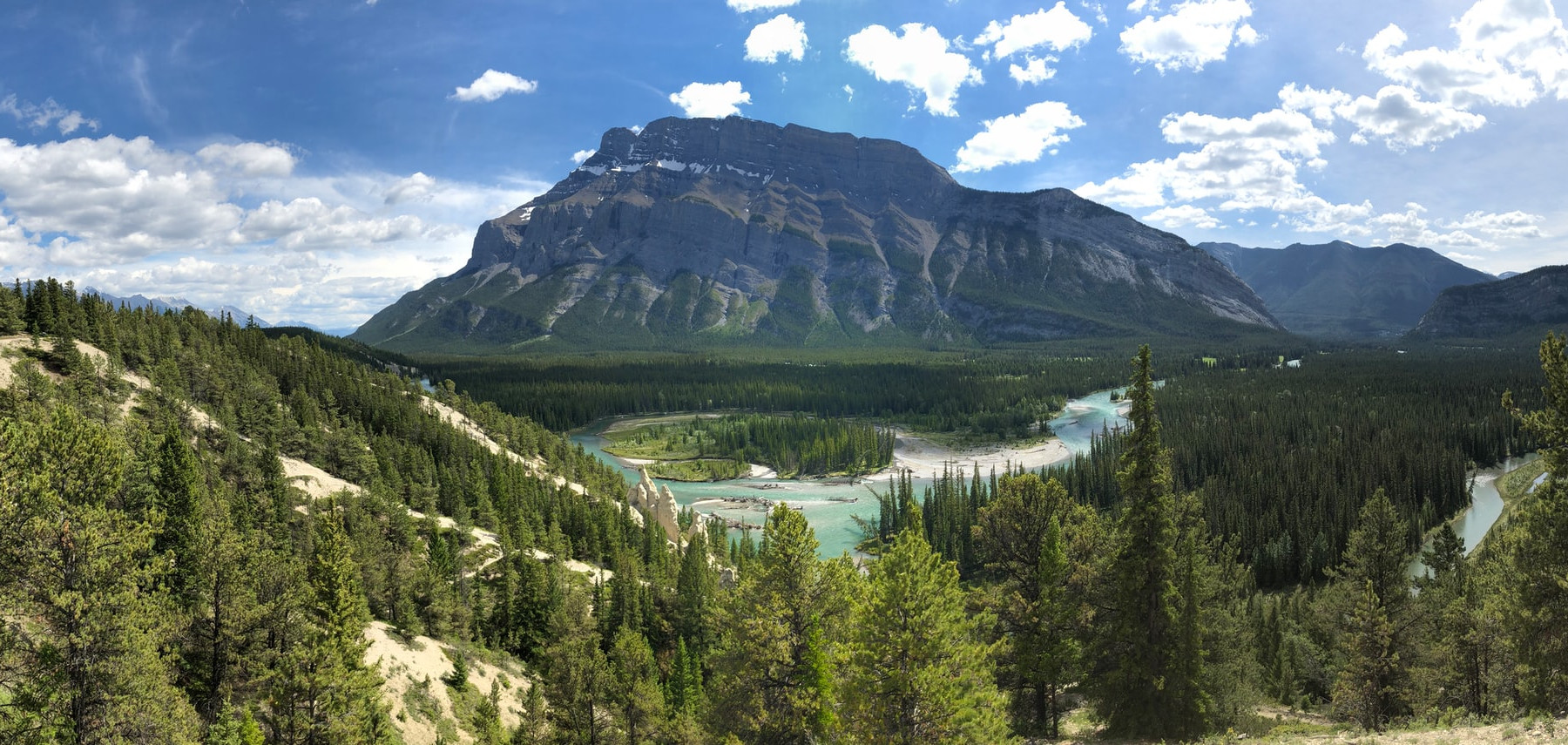
The well-designed switchbacks up the west side of Tunnel Mountain give you a relatively easy opportunity to reach the top of a Rockies peak. Granted it is a low one, yet reaching the summit reveals sweeping views up and down the Bow Valley. As Walter Wilcox wrote in 1896, it is “the best place from which to get a good general idea of the topography of Banff and its surroundings.”
Starting from within Banff townsite, the trail climbs through a forest with lodgepole pine, whose needles grow in pairs, and lots of Douglas-fir (recognized by the mousetail-like bracts of the cones). In the more open terrain at the summit ridge you will find limber pine, with large cones and needles in clusters of five.
As you gain elevation, the vistas to the west over the townsite and toward the Vermilion Lakes and Mt. Bourgeau become more expansive. At km 1.9, where the trail turns sharply north, you get the first look east down the Bow Valley from the edge of the precipitous eastern cliffs of Tunnel Mountain.
The shape of Tunnel Mountain is a result of its complete submergence during glaciation. The ice glided up the west side of this bedrock knob, but on the east side carried off rock loosened by repeated freezing and thawing of water in crevices. The rounded appearance of Tunnel Mountain contrasts markedly with the sharp summits of nearby, higher peaks, such as Mt. Rundle and Cascade Mountain, whose crests were not smoothed by glaciers.
Despite its name, there is no tunnel in Tunnel Mountain. The name originated with the at-times impetuous Major A.B. Rogers, who initially laid out a line for the westward-progressing Canadian Pacific Railway that was to run right through the peak, an obstacle that he proposed be breached by blasting a tunnel.
As it transpired, a less expensive route in the valley to the north was decided upon following an 1883 re-evaluation by surveyor Charles Shaw, who wrote: “Rogers’ location here was the most extraordinary blunder I have ever known in the way of engineering.” Thus dynamite was not used to bore through Tunnel Mountain; nevertheless, the name given in anticipation by the CPR has stayed with us.

