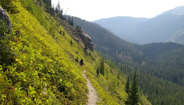
Short Banff, Alberta Backpacking Trips
Banff National Park is one of the best places in the Rockies to get away from it all, and backpacking is one of the best ways to really get out into the most secluded parts of the park.
Got four days off and a backpack? Here’s some trips for you. Also, you can get a quick look at Banff’s weather with the any weather app.
Assiniboine loop starts and finishes at the Mt. Shark trailhead in Kananaskis Country, Alberta, just ouside of Banff National Park. Travel through three connected wilderness areas for awesome views Mt. Assiniboine, the sixth highest mountain in the Canadian Rockies, and one of the most impressive in the Banff area. There are some seasonal restrictions here, so check in with a ranger before going out.
Campsites: McBride’s Camp – Night 1; Lake Magog Campground or the BC Parks trail shelter, Mt. Assiniboine Provincial Park – Nights 2 and 3 (separate BC Parks campground fees will be collected on-site); Marvel Lake, or stay at the Bryant Creek trail shelter – Night 4.
Elevation gain: 545 m
Distance: 55 km
Bryant Creek
Bryant Creek takes you to the amazing Mt. Assiniboine with a great starting point at the Sunshine Village ski area that traverses the flowery (or muddy, depending the season) meadows of Citadel Pass. Hike the Sunshine Village ski area maintenance road or catch a ride on White Mountain Adventures private shuttle to the base village. The trip ends at the Mt. Shark trailhead in Kananaskis Country, Alberta. Check with a ranger for info on seasonal restrictions.
Campsites: Porcupine Campground, Mt. Assiniboine Provincial Park – Night 1; Lake Magog Campground, Mt. Assiniboine Provincial Park – Night 2 or 3 (where separate BC Parks campground fees will be collected on-site); McBride’s Camp – Night 3 or 4.
Elevation gain: 660 m
Distance: 55.7 km
Banff and Mount Assiniboine
Get into Banff’s backcountry with this series of trails connecting Sunshine Village ski area to the Vista Lake viewpoint on Highway 93 on foot or via a shuttle ride by White Mountain Adventures. On the way, explore the Egypt Lake area en route. After climbing over Gibbon Pass, the trail meanders past a series of scenic lakes before the final descent to the highway.
Campsites: Egypt Lake – Night 1; Ball Pass Junction – Night 2 and 3; Twin Lakes – Night 3 or 4.
Elevation gain: 1390 m
Distance: 40 km

